State: Iceland | Coordinates: 63.903, -22.273 | Eruption: Hawaiian
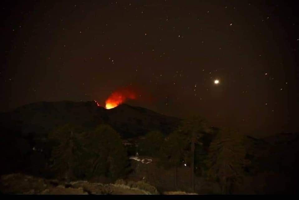
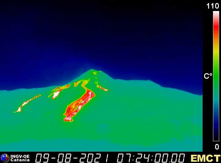
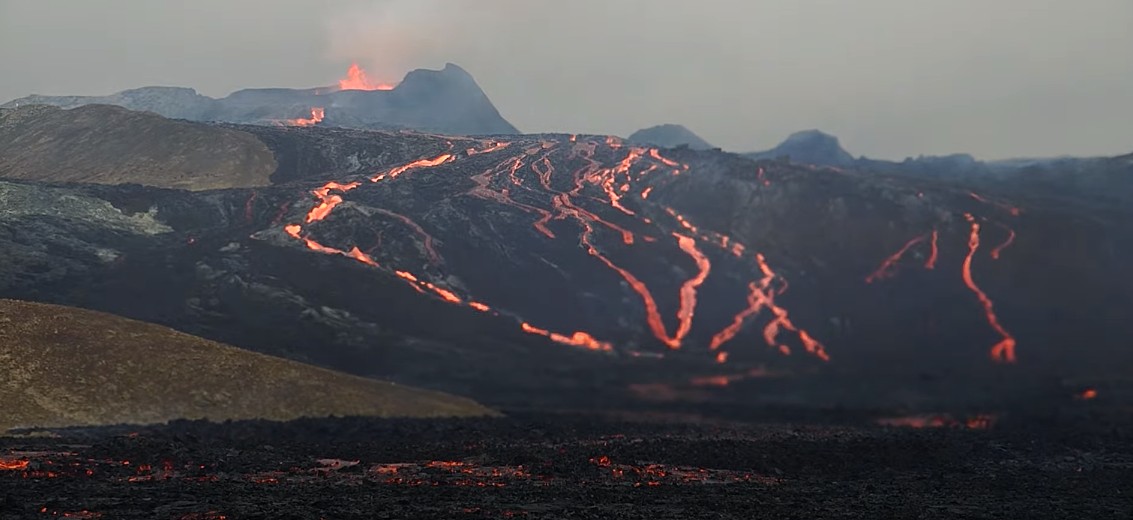
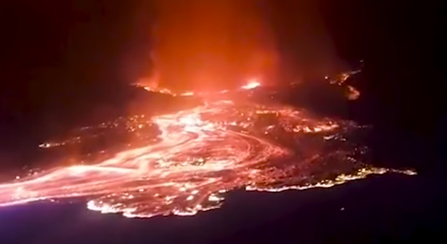
 At Fagradalsfjall, activity continues in the usual way, but the small lava fountains look a bit higher. This could be due to the fact that the cone continues to grow and the diameter of the crater opening decreases. As a result, the flowing lava has less space in the crater and takes flight upward. The main part of the lava continues to flow towards the Meradalir valley. Some forms branching lava flows in a southeasterly direction.
While seismicity at Fagradalsfjall is low, there have been other earthquakes further southwest at Reykjanes Ridge. The three strongest had magnitudes between 3.8 and 3.2 with earthquake foci a good 10 km deep. The epicenters were located 25.7 km west-southwest of Eldeyjarboði. Last week there were reports that signs of a submarine eruption had been sighted in the area. A Coast Guard vessel was dispatched, but no submarine eruption was detected.