This volcano video shows the destroyed roman city Herculaneum and its Skeletons in the boathouses. Herculaneum was burried under a thick layer of volcanic deposits during the well known eruption from Mount Vesuvius in 79 AD.
 Marc Szeglat
Pompeii and the plaster casts
The roman city Pomepii was destroyed by pyroclastic flows from Mount Vesuvius in 79 AD. The bodies of the victims are shown as plaster casts.
Colima: volcanic lightning
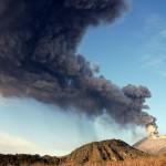
In November 2015 I captured this volcano footage from Colima in Mexico. Colima was in a state of sporadic eruption from its main vent. The lava dome was blown out from explosions. So, instead of glowing avalances I observed volcanic lightning in the erupted ash clouds.
I traveled together with my colleagues from the Volcanological Society e.V. and meet with Hernando Alonso Rivera Cervantes who guided us. We rented a cabin, just 6 kilometers away from Colima’s summit.
More about Colima volcano
The Volcán de Colima is part of the Colima Volcanic Complex consisting of Volcán de Colima, Nevado de Colima and the eroded El Cantaro. It is the youngest of the three and is one of the most active volcanos in Mexico. It has erupted more than 40 times since 1576.
During last years he activity was dominated by growth of an lava dome. In spring 2015 this dome was blown out by a series of explosions. Since then, explosive ash eruptions occur several time each day. This activity lasted several months. Then the explosions decreased and it began to grow a small dom again.
Video Karangetang 2015
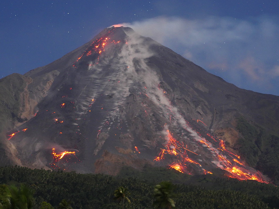
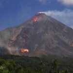
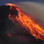
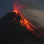
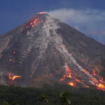
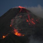
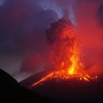
In August 2015 I documented the eruption of the volcano Karangetang on Siau. These time lapse pictures of the glowing lava were taken.
Kawah Ijen: blue burning sulfur
Incredible video footage of burning sulfur on Kawah Ijen in Java. Kawah Ijen volcano in Indonesia, is the own location you can certainly watch the electric blue fire of burning sulfur.
I traveled together with my indonesian friend and guide Andy. My friends Martin Rietze and Thorsten Böckel were also one of the party. We climbed the step crater walls short before sunset: just during night time the blue flames of the burning sulfur are visible.
About Kawah Ijen
The Ijen volcano complex is a group of stratovolcanoes in East Java, Indonesia. The volcanoes are inside a larger caldera, which is about 20 kilometers wide. Ijen volcano has a one-kilometer-wide acidic crater lake. The lake is the site of sulfur mining operation. Miners carried Sulfur-laden baskets by hand from the crater floor.
Karangetang: Eruption in 2015
The small volcanic island of Siau is probably known to very few Europeans: it lies about 1/3 of the way between the Indonesian island of Sulawesi and the Philippines. It is one of the spice islands of Indonesia, because most people live from the cultivation and trade of nutmeg and cloves. The climate and the fertile volcanic soil create ideal conditions for the plants. There are also wonderful diving areas and extensive coral reefs off the coast of Siau. And then there is the all dominating volcano Karangetang! In extreme cases, you are nowhere safe from its eruptions on this small island.
The geonauts Thorsten, Martin and Marc set out there at the end of August 2015 to document the eruption of the volcano. When the news about the beginning of the eruption reached us, we were just at the Kawah Ijen in eastern Java. But even if you are already in Indonesia, the way is long and more complicated than e.g. the journey from Germany to Stromboli in Italy. First we had to take 3 domestic flights to Manado, where we arrived late in the evening. After a hotel night we went on an express ferry, which took almost 5 hours.
When we finally reached Siau and the volcano, the morphology of the island with its islets reminded me of a half-sunk caldera, on whose flank the new volcano with its 5 craters had formed. But in the scarce literature on Karangetang there is nothing about a caldera.
First Karangetang presented itself cloudy and we made our way from the harbor to the recommended hotel. This turned out to be adventurous and overpriced, but it was the only one here.
We went to the village to get something to eat and when we were done the clouds had cleared away. Only now we noticed how close the volcano was. From the roof of the hotel we had a box seat with an unobstructed view of the active fire slide: over the southern slope of the volcano, glowing lava avalanches kept coming down, fed by a lava tongue. This extremely tenacious lava flow poured down the slope from the south crater for about 200 m, where it stagnated at first. Some debris avalanches were so large that not much would have been missing and they would have become pyroclastic flows. Of course, we were aiming for these. However, the hotel, like the whole place, was not a safe place if really large pyroclastic flows were to occur. Even more exposed were some smaller places directly below the fire slide.
The next day Karangetang presented itself overcast. Only in the late evening did the curtain of clouds lift and allow a view of the fiery spectacle. The situation had changed significantly in the last hours. Two arms of the tenacious lava flow had left the upper volcanic flank and had almost reached the base of the fire slide. However, the surface of the flows had mostly cooled down and only one front was glowing. We positioned ourselves on a parking lot in a place directly below the fire slide and took pictures of the lava flows. Around midnight some drunken locals became unpleasantly pushy and I had to put them in their place, although I was afraid the situation could escalate. Fortunately our warung-host came by with his truck to check on us and brought us back to the hotel. Half an hour later there would probably have been a brawl.
The next unpleasant incident happened in the morning of our spontaneous departure: at the Lokon on Sualwesi there had been an eruption and we left in a hurry. In the rush Thorsten already paid the hotel and handed over the money to the employee behind the reception. Then he went packing and wanted to pick up the bill afterwards. Then we were told that he had not yet paid. The counter was searched umpteen times for the money and the employee leafed through a notebook several times. Only when Thorsten became energetic and hit the table with his fist did the money reappear. It was in the notebook, which had already been flipped through several times! The two incidents, coupled with the unkempt hotel and the dirt in the village, depressed a little the mood and the otherwise positive image of the volcanic island Api Siau.
Video: Eruption of Mount Bromo in 2011
Paroxysmal Eruption of Mount Bromo in 2011.
Sulfur fabrication Kawa Ijen
Video footage of the sulfur fabrication close to the volcano Kawah ijen in Indonesia.
Sakurajima: shock wave and lightning
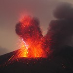
Volcanic lightning are rare phenomens which are difficult to capture on video. This one from Sakurajima volcano was made by a lot of single frames, each exposed for some seconds and animated via PC to a video sequence. The unique shots were licences from several TV station all over the world.
Sakurajima facts
Sakurajima means in English Cherry Blossom Island. It is an active strato volcano and a former island in the Bay of Kagoshima in Kyushu, Japan. The lava flows of the 1914 eruption caused the former island to be connected with the Osumi Peninsula.
The volcanic activity is erupting large amounts of volcanic ash. Earlier eruptions built the white sands highlands in the region.
Sakurajima’s summit has three peaks: Kita-dake (northern peak), Naka-dake (central peak) and Minami-dake (southern peak). A smaller crater on its east side is called Showa. This is the site of most of the current eruptions.
Sakurajima is famose for its volcanic lightning. (Sources WIKIPEDIA & USGS)
Sakurajima: Volcanic lightning
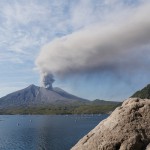
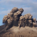
Volcanic lightning on Sakurajima in Japan. The lightning occurs in ash-rich eruptions, mostly during first 20 seconds of the eruption. I saw a shock wave in one of the first morning of my observations in March 2015. This shock wave you will see in the video.
The story of volcanic lightning
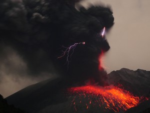 I visited the Sakurajima in Japan several times in the past years: the volcanic lightning in the ash clouds always attracted me like a magnet! Photographing at the volcano is never easy, but to capture flash clouds requires special know-how and a lot of patience. I was on the road again with Martin Rietze and after the long flight we went straight to the volcano in the evening after our arrival in Kagoshima. We wanted to spend the night at our favorite place again and set up our cameras. It is about 3 km from the summit of Sakurajima, almost at the end of a small road leading to a lahar dam. But, oh dear, the property with the meadow was fenced in and the meadow was nice and clean and the ground was levelled. What now? With a bad conscience we bypassed the fence and set up our camp at the edge of a bush.
Already in the first night our patience was put to the test: the volcano was unusually quiet and produced only a few miserable ash clouds, so completely without lightning. Then in the morning, all the accumulated energy was discharged in a proper detonation! The generated shock wave was not only visible in the clouds above the crater, but could also be clearly felt as a short shock wave. After the lame night it got us going. But unfortunately the weather got worse and worse and we decided to break up our camp and set off for the volcano Aso. This volcano is about 2 hours drive away from Sakurajima. Aso was strombolian active in the last weeks and especially Martin heard its tempting call.
But, how could it be different, the bad weather reached the volcano with us. Shortly before the clouds closed, we caught a glimpse of the crater and a small ash cloud, then it started to rain. We explored the visitor center at the foot of the crater cone. The ascent to the crater was of course closed. I was quite surprised about the size of the parking lot: in summer there must have been a lot going on here! Well, the Japanese love and adore their volcanoes and like to go hiking there.
In the evening it started snowing and Martin and I spent an uncomfortable night in the car, without any volcano view. Since we had little time, we started the next morning to Sakurajima. We made a short side trip to the Kirishima volcano. There the weather was better and the volcanic landscape was impressive! If the volcano should become active again, you have to go there!
On the way to Sakurajima we stormed a supermarket: the prices in Japan are sometimes enormous! Instead of being self-sufficient, you can better go to one of the few fast food restaurants or buy ready-made schnitzels in a minimarket.
In the evening we took position at Sakurajima again. But also this night was quite quiet. In the morning we had another nice eruption, this time with better weather!
Slowly our time was running out, but the next night we should have more luck. Saku turned up and produced 2 eruptions with volcanic lightning shortly after each other. Our cameras rattled in continuous mode and hardly a flash of lightning slipped through our fingers. In the air was the rumbling of the eruptions and the crackling of electrical discharges that made the hairs on your neck stand up. We looked through our cameras almost euphorically and hoped for more, but no more flashes. That’s how it is at the volcano! You often need a lot of patience for a few precious moments of successful experience.
