Chile: Earthquake Mw 6,3

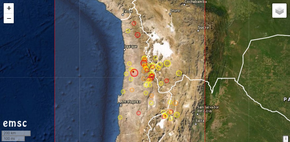
Another strong earthquake occurred in the Chilean region of Atacama. It had the magnitude 6.3 and was located 88 km north-north-east of Tocopilla. The depth of the earthquake is 45 km according to the EMSC. The earthquake occurred at 07:36 UCT. In Chile it was 04:36 UCT and the people were rudely torn from their sleep.

In the same area there had been an earthquake of magnitude 6.8 on September 1. One can assume that the two earthquakes are related. There were further aftershocks.

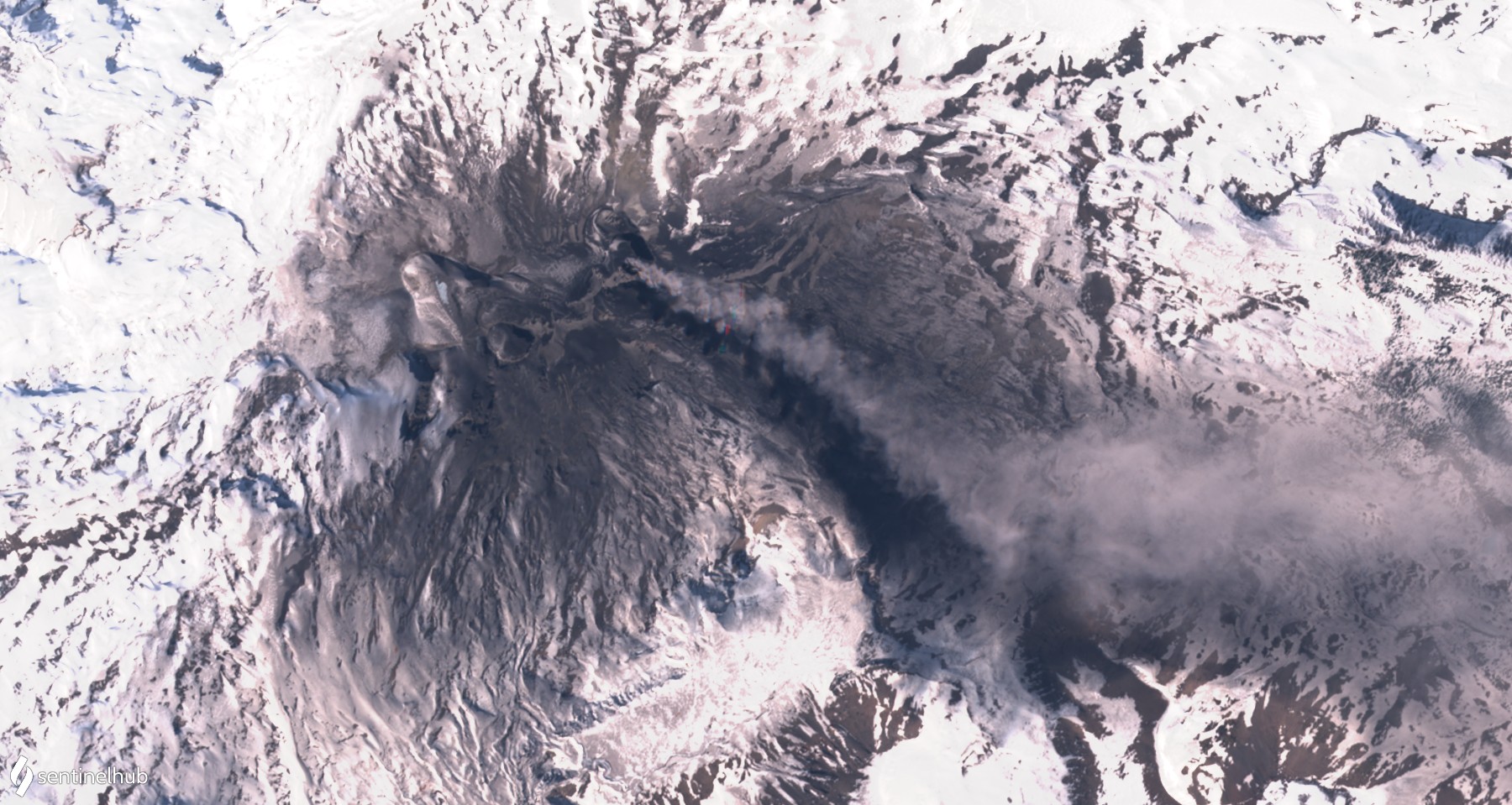
Several potentially active volcanoes are located in the Atacama. The Lascar is one of them. It showed signs of awakening at the beginning of the year and emitted heat radiation. The geyser field near the Tatio volcano is worth seeing.

Yellowstone Caldera: Yellowstone Caldera: Seismic swarm

Under the US-American Yellowstone Caldera a seismic swarm is manifesting itself today. The strongest quake to date was M 2.9. EMSC indicates a total of 12 quakes with magnitudes greater than 2. The hypocenters are located at shallow depths of less than 5 km. The epicenters are concentrated in a small area southwest of Yellowstone Lake. They are located in the area of Heart-Lake and Mount Sheridan. The depression of the lake was formed by folding processes at a young fault zone. Therefore the swarm quake could be of tectonic origin. However, there is also a thermal field at the lake, so hydrothermal influences could come into play. The Heart Lake Geyser Basin is also known for its thermophilic archaebacteria, which occur here in a basic environment.

Irazu: Antennas collapsed

Yesterday at the Costa Rican volcano Irazu, 2 telecommunication antennas and a building collapsed and fell into the abyss near the crater. The abyss had been created by a colossal landslide in the summit area of the volcano in late August. Before that, crevasses had formed and there were hundreds of ground tremors.

The Volcanological and Seismological Observatory of Costa Rica (Ovsicori) reported that during an overflight it was discovered that the building and two antennas had collapsed towards the cliff. Whether there was another landslide is not clear from the report. But what you can see very nicely on the photos is the sheer size of the landslide in the volcano flank.


Fuego erupts 2 lava flows

The Guatemalan volcano Fuego again increased its activity and erupted explosively and effusively. INSIVUMEH registers between 11 and 15 explosions per hour. Some of the explosions have a high acoustic pressure and produce clear peaks on the seismogram. Ear witnesses report loud explosion noises that can still be heard in the villages at the foot of the volcano. Volcanic ash rises to an altitude of 4700 m and drifts up to 15 km in an easterly direction. Glowing tephra is ejected and descends on the flanks. There it produces hot debris avalanches. They are in competition with 2 short lava flows: the longer one flows through the gorge La Trinidad and has travelled about 250 meters. The shorter lava flow reaches 100 m and travels through the Cenzia Gorge.

Etna glows

Etna in Sicily continues its weak activity. An Italian volcano observer shared in the social media a picture taken from Linguaglossa in the northeast of the volcano. The picture shows red illuminated steam rising from 2 craters. The craters are the Northeast Crater and the New South East Crater. Both vents show thermal anomalies on satellite images. Probably there are also deep seated strombolian eruptions in the New Southeast Crater. However, these are currently so small that the tephra does not rise above the crater rim. But that is not enough: A sentinel image from Sunday also reveals a thermal anomaly in Bocca Nuova. It is even the most distinctive of the 3 anomalies. So it could be that the central crater could soon play a central role in the eruption process again.

The tremor moves sideways in the yellow area and fluctuates occasionally. The quake activity has decreased in the last 3 days and can be considered moderate.


Copahue erupts volcanic ash

The Chilean volcano Copahue erupted an ash cloud yesterday, which rose to an altitude of 3700 m and drifted in a southeasterly direction. Already last week there was a comparable ash emission

Copahue is located in the Bio Bio region and on the border with Argentina. The complex stratovolcano consists mainly of andesite. El Agrio is currently active from about a dozen craters. An acidic crater lake is bubbling in this crater. The Copahue is covered by a glacier. Larger volcanic eruptions threaten lahars. The alarm status is “yellow”.

Central Mid-Atlantic Ridge: Earthquake Mw 6,6

An earthquake of magnitude 6.6 occurred in the central region of the Mid-Atlantic Ridge, the epicenter of which was located between South America and Africa, more precisely 1218 km north of Acaraú in Brazil. The hypocenter was located at 10 km depth. Only last week there had been a strong earthquake in this region.

The border of several continental plates runs along the Mid-Atlantic Ridge. The submarine ridge is the birthplace of the Atlantic Ocean. Because of the divergence of the continental plates, they move apart and do not collide, as is the case in subduction zones. This causes less tension in the rock than at subduction zones and earthquakes occur less frequently.

Ol Doinyo Lengai: Thermal anomaly

In the past weeks the volcano in Tanzania appeared again and again in the news, so also today. The reason for this is a larger thermal anomaly in the crater. It can be seen on sentinel satellite photos and is generated by the coldest lava in the world. It flows over the crater floor. The anomaly is located on the northwestern rim of the crater and a new hornito may have formed there. This year there was mostly a large hornito active in the center of the crater. There you can still see solidified lava.

Sangay: There was a warning about lahars

Yesterday, lahars went off at the Ecuadorian volcano Sangay. Around 10.30 am (local time) corresponding seismic signals with a low frequency were registered. The seismologists of the Geophysical Institute in Ecuador issued a warning. Since the start of the activity in May 2019, heavy rainfall has been regularly triggering lahars. The mudslides not only pose a serious danger to people living in the immediate vicinity of the volcano, but also change the hydrology of the area: water is dammed up and river water is contaminated.

The lahars are formed when water mobilizes deposited volcanic ash on the volcanic slope. The material comes not only from explosive eruptions, but also from pyroclastic flows. Currently there is a VONA warning of volcanic ash at an altitude of 6400 m.

Rincon de la Vieja: 3 eruptions

The volcano Rincon de la Viejá (Costa Rica) started on Sunday with a series of eruptions. Within 15 hours 3 phreatic eruptions were generated. The last of these eruptions manifested on Monday morning and was the strongest of the series. It not only produced water vapor but also tephra, which rose up to 500 m above crater level. Already in the previous week there were several eruptions.

The volcano is located in the province of Guanacaste. On its slopes a wonderful dry forest spreads out. I climbed the volcano in 1994 and can well remember the species richness of the forest: howler monkeys, sloths, armadillos and coatis met me at every turn. The coati are extremely voracious and at that time they plundered my food supply, which I had attached to a rope between 2 trees. Nevertheless the coati reached the food and I experienced 3 rather hungry days. Unfortunately I did not see the crater, because the summit was covered in clouds during my 3-day stay at the volcano.