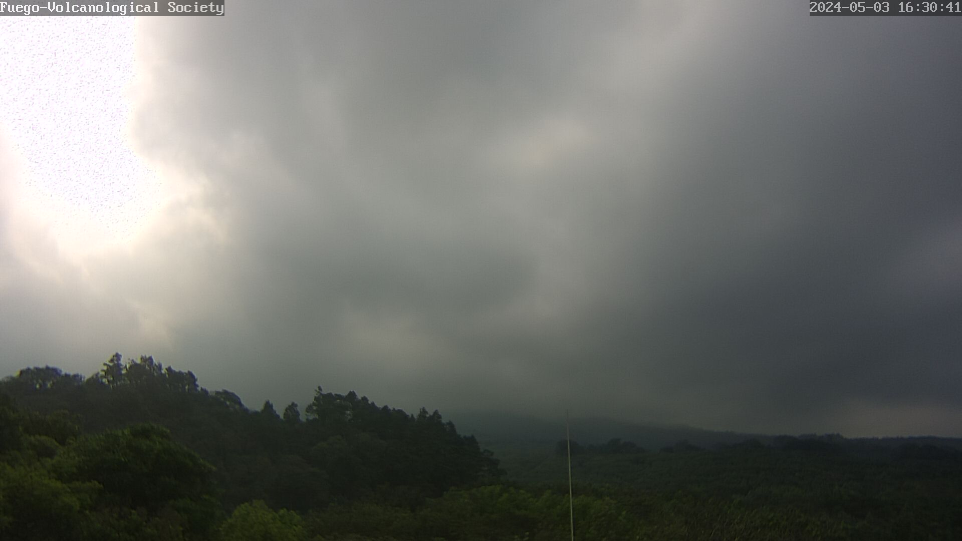
The Livecam from Fuego in Guatemala is operated by the Vulcanological Society e.V. and vulkane.net. To load a new picture please update the page.
Seismic

Seismology of the Fuego volcano. The seismometer is located in Panimache. © LGS
Acoustics

Monitoring volcano Fuego
The Fuego is located in a comparatively densely populated area and not only overlooks several villages that have settled at its foot, but also the tourist magnet Antigua. The Fuego can generate pyroclastic flows and lahars that pose a threat to the surrounding settlements. Therefore the volcano is quite well monitored. Nevertheless, in June 2018 a catastrophe occurred when unexpected pyroclastic flows destroyed numerous houses and cost the lives of more than 100 people. The pyroclastic flows originated during a paroxysmal eruption that occurred every few weeks at that time. But this paroxysm was stronger than the previous ones, but since the threat was not recognized in time, there was no warning.
Before the eruption, there was an observation network that was established with the cooperation of the USGS and Canadian scientists under the auspices of the University of Michigan. Of course in cooperation with the local volcanologists of INSIVUMEH. The network consisted of 6 mobile broadband seismometers, acoustic sensors and a gas spectrometer. 2 livecams supported the volcanologists with visual observations.
In January 2020 our volcanological society “Volcanological Society e.V.” installed a livecam at the foot of the volcano. It supports the volcanologists in visual observations of the fire mountain. You can see the picture above. Read a report about the installation of the camera.
After the eruption the cooperation was extended. Now the Mexican UNAM and several European research institutes are involved. The University of Liverpool and the LGS Florence are also involved. There are 7 stations operating, which have several seismometers and microphones.
Of course the Fuego is also monitored by satellites. Here mainly the heat emissions are detected. Via INSAR the ground deformation is observed.
